Lague Airport
| Lague Airport | |||||||||||
|---|---|---|---|---|---|---|---|---|---|---|---|
| Summary | |||||||||||
| Serves | Akana, Republic of the Congo | ||||||||||
| Elevation AMSL | m / 2,720 ft | ||||||||||
| Coordinates | 02°27′S 14°32′E / 2.450°S 14.533°ECoordinates: 02°27′S 14°32′E / 2.450°S 14.533°E | ||||||||||
| Map | |||||||||||
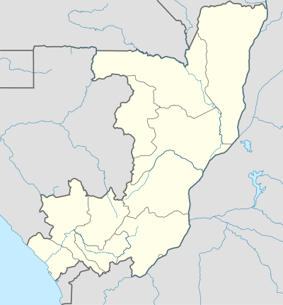 LCO Location of airport in the Republic of the Congo | |||||||||||
| Runways | |||||||||||
| |||||||||||
Lague Airport (IATA: LCO, ICAO: FCBL) is an airstrip serving Akana, Republic of the Congo.
References
- ↑ Airport information for LCO at Great Circle Mapper.
- ↑ Lague Airport information at Landings.com
This article is issued from
Wikipedia.
The text is licensed under Creative Commons - Attribution - Sharealike.
Additional terms may apply for the media files.