Lagginhorn
| Lagginhorn | |
|---|---|
 The west face | |
| Highest point | |
| Elevation | 4,010 m (13,160 ft) |
| Prominence | 511 m (1,677 ft) [1] |
| Isolation | 3.3 km (2.1 mi) [2] |
| Parent peak | Weissmies |
| Coordinates | 46°9′26″N 8°0′11″E / 46.15722°N 8.00306°ECoordinates: 46°9′26″N 8°0′11″E / 46.15722°N 8.00306°E |
| Geography | |
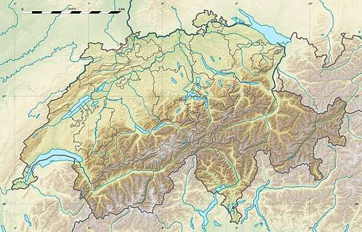
 Lagginhorn Location in Switzerland | |
| Location | Valais, Switzerland |
| Parent range | Pennine Alps |
| Climbing | |
| First ascent | 26 August 1856 by E. L. Ames, Franz Andenmatten and Johann Josef Imseng, together with three Englishmen and three guides |
| Easiest route | West ridge (PD) |

The Lagginhorn (4,010 m) is a mountain in the Pennine Alps in Switzerland. It lies a few kilometres north of the slightly higher Weissmies and also close to the slightly lower Fletschhorn on the north.
The Lagginhorn is the last four-thousander in the main chain before the Simplon Pass; it is also the lowest four-thousander in Switzerland.
The first ascent was by Edward Levi Ames and three other Englishmen, together with local Saas Grund clergyman Johann Josef Imseng, Franz Andenmatten and three other guides on 26 August 1856.
Huts
- Weissmies Hut (2,726 m)
- Berghaus Hohsaas (3,100 m)
- Laggin Bivouac (2,425 m)
References
Bibliography
- Dumler, Helmut and Willi P. Burkhardt, The High Mountains of the Alps, London: Diadem, 1994
External links
| Wikimedia Commons has media related to Lagginhorn. |
This article is issued from
Wikipedia.
The text is licensed under Creative Commons - Attribution - Sharealike.
Additional terms may apply for the media files.