Kyzyl-Suu, Kyrgyzstan
| Kyzyl-Suu Кызылсуу | |
|---|---|
| village | |
 Pokrovka, 1978 | |
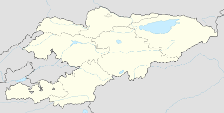 Kyzyl-Suu | |
| Coordinates: 42°20′21″N 78°00′24″E / 42.33917°N 78.00667°ECoordinates: 42°20′21″N 78°00′24″E / 42.33917°N 78.00667°E | |
| Country | Kyrgyzstan |
| Region | Issyk-Kul Region |
| District | Jeti-Ögüz District |
| Elevation | 1,770 m (5,810 ft) |
| Population (2009) | |
| • Total | 12,150 |
| Time zone | UTC+5 |
| • Summer (DST) | UTC+6 |
Kyzyl-Suu (formerly known as Pokrovka) is a village in the Issyk-Kul Region of Kyrgyzstan. About 10km inland from Lake Issyk Kul on the A363 highway between Jeti-Ögüz resort and Barskoon, it is the capital of Jeti-Ögüz District. Its population was 12,150 in 2009.[1]
At the head of the Chong Kyzyl-Suu ('little red water') valley, it is a base for trekking into the 14,000 foot mountains to the south. Kyzyl-Suu is named for the "Kyzyl-Suu" river that runs through it. Kyzyl-Suu literally translates to "red water", in reference to the red clay which stains the water during periods of heavy rain.
Sources
- World Gazetteer: Kyrgyzstan – World-Gazetteer.com
References
- ↑ "2009 population census of the Kyrgyz Republic: Issyk-Kul Region" (PDF). Archived from the original (PDF) on 10 August 2011. Retrieved 2017-01-04.
This article is issued from
Wikipedia.
The text is licensed under Creative Commons - Attribution - Sharealike.
Additional terms may apply for the media files.