Kunjathur
| Kunjathur Thuriya Kuncha | |
|---|---|
| Town | |
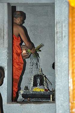 Maha Lingeshwara Temple, Kunjathur | |
| Nickname(s): Kunja Nadu | |
 Kunjathur Location in Kerala, India | |
| Coordinates: 12°44′35″N 74°53′10″E / 12.74306°N 74.88611°ECoordinates: 12°44′35″N 74°53′10″E / 12.74306°N 74.88611°E | |
| Country |
|
| State | Kerala |
| District | Kasaragod |
| Government | |
| • Type | Panchayati raj (India) |
| • Body | Gram panchayat |
| Population (2001) | |
| • Total | 10,613 |
| Languages | |
| • Official | Malayalam & Tulu |
| • Spoken | Malayalam, Tulu, Kannada |
| Time zone | UTC+5:30 (IST) |
| Vehicle registration | KL-14 |
Kunjathur is a village in Kasaragod district in the state of Kerala, India.[1] It is 19 km (12 mi) south of Mangalore city.
Demographics
At the 2001 India census, Kunjathur had a population of 10613 with 5216 males and 5397 females.[1]
Transportation
Local roads have access to National Highway No.66 which connects to Mangalore in the north and Calicut in the south. The nearest railway station is Manjeshwar on Mangalore-Palakkad line. There is an airport at Mangalore.
Languages
This locality is an essentially multi-lingual region. The people speak Malayalam, Tulu, Beary bashe, Kannada and Konkani. Migrant workers also speak Hindi and Tamil languages.
Administration
This village is part of Manjeswaram assembly constituency which is again part of Kasaragod (Lok Sabha constituency)
References
- 1 2 "Census of India : Villages with population 5000 & above". Registrar General & Census Commissioner, India. Archived from the original on 2008-12-08. Retrieved 2008-12-10.
This article is issued from
Wikipedia.
The text is licensed under Creative Commons - Attribution - Sharealike.
Additional terms may apply for the media files.