Kujataa
| UNESCO World Heritage site | |
|---|---|
| Official name | Kujataa Greenland: Norse and Inuit Farming at the Edge of the Ice Cap, Denmark |
| Criteria | Cultural (V) |
| Reference | 1536 |
| Inscription | 2017 (41st Session) |
| Coordinates | 61°9′52″N 45°35′53″W / 61.16444°N 45.59806°W |
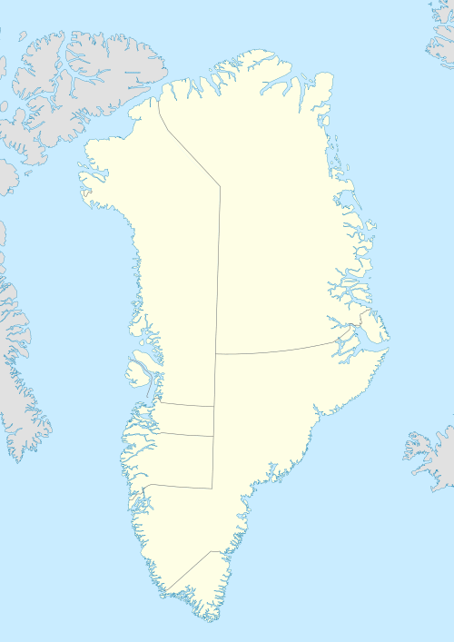
 Location of Kujataa in Greenland | |
 Kujataa | |
| Geography | |
|---|---|
| Administration | |
|
Greenland | |
| Municipality | Kujalleq |
| Official name | Kujataa Greenland: Norse and Inuit Farming at the Edge of the Ice Cap |
| Type | Cultural |
| Criteria | (v) |
| Designated | 2017 |
| Reference no. | 1536 |
| State Party |
|
| Region | Northern Europe |
Kujataa is a sub-arctic farming landscape in the southern region of Greenland.[1]
The first known example of agriculture (or farming) in the Arctic is at Kujataa.
The oldest evidence of the spreading of the Old Norse culture outside Europe is at Kujataa.
History
Kujataa got its name on UNESCO's World Heritage List in 2017.
Including below:
- Qassiarsuk
- Igaliku
- Sissarluttoq
- Qaqortukulooq (Hvalsey)
- Tasikuluulik (Vatnahverfi)
References
- ↑ UNESCO World Heritage Centre. "Kujataa Greenland: Norse and Inuit Farming at the Edge of the Ice Cap - UNESCO World Heritage Centre". whc.unesco.org. Retrieved 2018-08-09.
This article is issued from
Wikipedia.
The text is licensed under Creative Commons - Attribution - Sharealike.
Additional terms may apply for the media files.

