Kotopeky
| Kotopeky | |
|---|---|
| Municipality and village | |
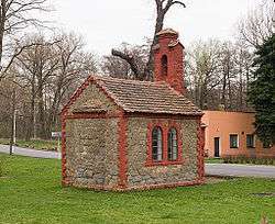 Chapel | |
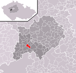 Location of Kotopeky in the Czech Republic | |
 Kotopeky Location in the Czech Republic | |
| Coordinates: 49°52′N 13°55′E / 49.867°N 13.917°ECoordinates: 49°52′N 13°55′E / 49.867°N 13.917°E | |
| Country |
|
| Region | Central Bohemian Region |
| District | Beroun District |
| Government | |
| Area | |
| • Total | 1.51 sq mi (3.92 km2) |
| Elevation | 1,348 ft (411 m) |
| Population (01/2015) | |
| • Total | 318 |
| • Density | 210/sq mi (81/km2) |
| Time zone | UTC+1 (CET) |
| • Summer (DST) | UTC+2 (CEST) |
| Postal code | 268 01 |
| Website | www.obec-kotopeky.cz |
Kotopeky is a village in Central Bohemian Region of the Czech Republic. It has around 300 inhabitants.
Hamlet Tihava is administrative part of Kotopeky.
External links
| Wikimedia Commons has media related to Kotopeky. |
This article is issued from
Wikipedia.
The text is licensed under Creative Commons - Attribution - Sharealike.
Additional terms may apply for the media files.