Kleppe
| Kleppe | |
|---|---|
| Village | |
 View of the village | |
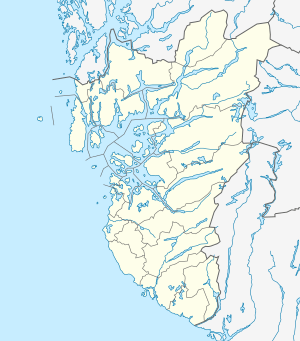 Kleppe Location in Rogaland county  Kleppe Kleppe (Norway) | |
| Coordinates: 58°46′27″N 05°37′45″E / 58.77417°N 5.62917°ECoordinates: 58°46′27″N 05°37′45″E / 58.77417°N 5.62917°E | |
| Country | Norway |
| Region | Western Norway |
| County | Rogaland |
| District | Jæren |
| Municipality | Klepp |
| Area[1] | |
| • Total | 3.02 km2 (1.17 sq mi) |
| Elevation[2] | 42 m (138 ft) |
| Population (2015)[1] | |
| • Total | 8,712 |
| • Density | 2,885/km2 (7,470/sq mi) |
| Time zone | UTC+01:00 (CET) |
| • Summer (DST) | UTC+02:00 (CEST) |
| Post Code | 4352 Kleppe |
Kleppe is the administrative centre of Klepp municipality in Rogaland county, Norway. The village is located about halfway between the lakes Orrevatnet and Frøylandsvatnet. The village of Bore lies about 3 kilometres (1.9 mi) northwest of Kleppe and the village of Klepp stasjon lies about 3 kilometres (1.9 mi) to the east. The town of Bryne lies about 5 kilometres (3.1 mi) to the south and the city of Sandnes is located about 12 kilometres (7.5 mi) to the northeast. Klepp Church is located in Kleppe.
The population around Kleppe is growing rapidly, mostly in the form of suburban single-family homes, but also in the form of apartment blocks. The village of Kleppe and its suburb Verdalen have grown together to form one large urban area known as Kleppe or Kleppe/Verdalen. The 3.02-square-kilometre (750-acre) village has a population (2015) of 8,712 which gives it a population density of 2,885 inhabitants per square kilometre (7,470/sq mi).[1]
Name
The name "Kleppe" comes from the Old Norse word "kleppr" which means "stone" or "hill".[3]
References
- 1 2 3 Statistisk sentralbyrå (1 January 2015). "Urban settlements. Population and area, by municipality".
- ↑ "Kleppe, Klepp (Rogaland)" (in Norwegian). yr.no. Retrieved 2016-05-26.
- ↑ Store norske leksikon. "Klepp" (in Norwegian). Retrieved 2016-05-26.