Kiphire, India
| Kiphire | |
|---|---|
| Town/City | |
 | |
 Kiphire Location in Nagaland,India | |
| Coordinates: 25°53′57″N 94°46′51″E / 25.8992°N 94.7808°ECoordinates: 25°53′57″N 94°46′51″E / 25.8992°N 94.7808°E | |
| Country |
|
| State | Nagaland |
| District | Kiphire |
| Government | |
| • Type | Town Council |
| • Body | Nagar Palika |
| Area | |
| • Total | 9 km2 (3 sq mi) |
| Elevation | 896 m (2,940 ft) |
| Population (2011)[1] | |
| • Total | 16,487 |
| • Rank | 17th in Nagaland |
| • Density | 100/km2 (300/sq mi) |
| Languages | |
| • Official | English |
| Time zone | UTC+5:30 (IST) |
| Vehicle registration | NL |
| Website | http://kiphire.nic.in |
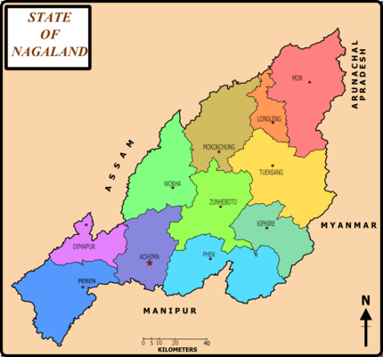
Map of Nagaland
Kiphire (Pron:/ˈkɪfɑɪə/) is a small town, situated at an elevation of 896 m (2,940 ft) above sea level and is the headquarters of the newly formed Kiphire district, Nagaland, India.[2] Kiphire is about 254 km from Kohima, the capital of Nagaland, and has a population of 16,487.[1] It is the place where the Naga tribes of Sangtam (Eastern), Yimchunger and Sema tribes meet. The town is the nearest district headquarters to Mt. Saramati (3841 m or 12,602 ft), Nagaland's highest peak.
See also
References
- 1 2 "Kiphire City Population Census 2011 - Nagaland". www.census2011.co.in.
- ↑ "Kiphire in India". India9.com. 7 June 2005.
This article is issued from
Wikipedia.
The text is licensed under Creative Commons - Attribution - Sharealike.
Additional terms may apply for the media files.