Kings Mine, Ohio
| Kings Mine, Ohio | |
|---|---|
| Unincorporated community | |
 Kings Mine  Kings Mine | |
| Coordinates: 39°59′24″N 81°29′4″W / 39.99000°N 81.48444°WCoordinates: 39°59′24″N 81°29′4″W / 39.99000°N 81.48444°W | |
| Country | United States |
| State | Ohio |
| County | Guernsey |
| Township | Center |
| Area | |
| • Water | 0.0 sq mi (0.0 km2) |
| Elevation | 856 ft (261 m) |
| Time zone | UTC-5 (Eastern (EST)) |
| • Summer (DST) | UTC-4 (EDT) |
| GNIS feature ID | 1079581[1] |
Kings Mine is an unincorporated community and coal town in southwestern Center Township, Guernsey County, Ohio, United States. It was also called Guild.
References
Municipalities and communities of Guernsey County, Ohio, United States | ||
|---|---|---|
| City | 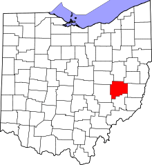 | |
| Villages | ||
| Townships | ||
| CDPs | ||
| Unincorporated communities | ||
| Footnotes | ‡This populated place also has portions in an adjacent county or counties | |
This article is issued from
Wikipedia.
The text is licensed under Creative Commons - Attribution - Sharealike.
Additional terms may apply for the media files.