Khodutka
| Khodutka | |
|---|---|
| Ходуткинские Горы | |
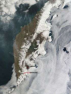 Space image of Kamchatka Peninsula, showing location of Khodudka | |
| Highest point | |
| Elevation | 2,090 m (6,860 ft) [1] |
| Prominence | 1,810 m (5,940 ft) [2] |
| Listing | Ultra |
| Coordinates | 52°03′45″N 157°42′36″E / 52.06250°N 157.71000°ECoordinates: 52°03′45″N 157°42′36″E / 52.06250°N 157.71000°E [2] |
| Geography | |
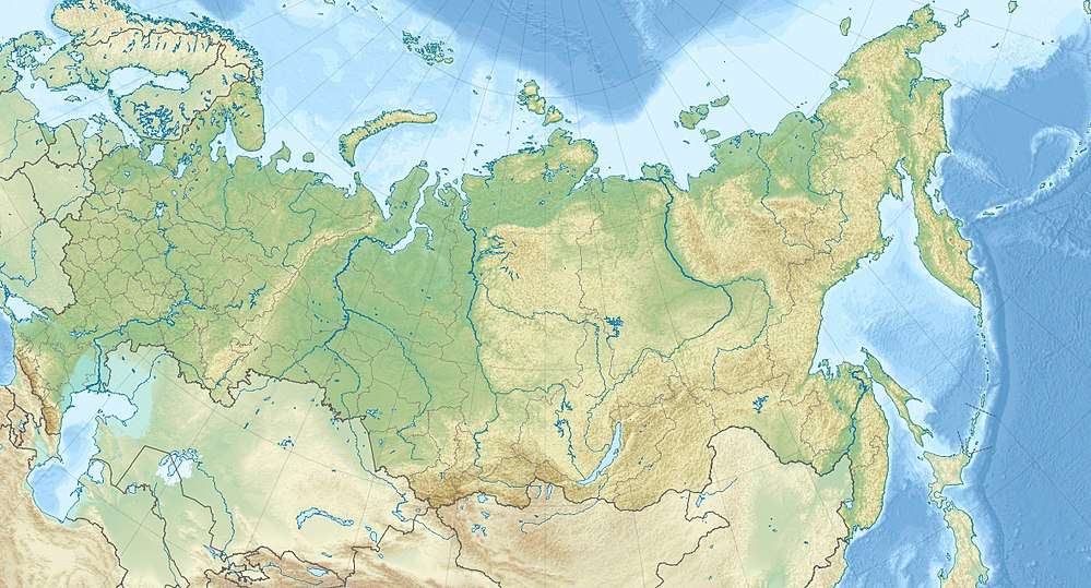 Khodutka Location in Russia | |
| Location | Kamchatka, Russia |
| Geology | |
| Mountain type | Stratovolcanoes |
| Last eruption | 300 BCE ± 300 years |
Khodutka (Russian: Ходутка), also known as Khodutkinskiye Gory[3] (Russian: Ходуткинские Горы[4]), is a stratovolcano located in the southern part of Kamchatka Peninsula, Russia.
It was formed from an older stratovolcano, known as Priemysh, between the late-Pleistocene and the early Holocene periods.
In about 800 BC, an eruption that was accompanied by small pyroclastic flows, and subsequent emplacement of lava flows and domes, deposited tephra throughout Southern Kamchatka, and formed a twin maar (Khodutkinsky maar) on the WNW slope of Khodutka.
Khodutka is one of a series of volcanoes that surround the city of Petropavlovsk-Kamchatsky, one of the oldest cities in the Far East
Volcanos, mountains, crater lakes and geyser valleys are recreational attractions in the area.[5]
See also
References
- ↑ "Khodutka". Global Volcanism Program. Smithsonian Institution.
- 1 2 "Russia: Kamchatka and the Russian Pacific Islands" Peaklist.org. Retrieved 2013-03-24.
- ↑ "Khodutkinskiye Gory: Russia". Retrieved 2010-07-19. .
- ↑ "Ходуткинские Горы". Retrieved 2010-09-06. .
- ↑ "Петропавловск-Камчатский". Archived from the original on 2010-07-06. Retrieved 2010-07-19. .