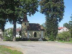
Kejžlice
| Kejžlice | |||
|---|---|---|---|
| Municipality | |||
 | |||
| |||
 Kejžlice | |||
| Coordinates: 49°35′11″N 15°24′11″E / 49.58639°N 15.40306°ECoordinates: 49°35′11″N 15°24′11″E / 49.58639°N 15.40306°E | |||
| Country |
| ||
| Region | Vysočina | ||
| District | Pelhřimov | ||
| Area | |||
| • Total | 11.27 km2 (4.35 sq mi) | ||
| Elevation | 470 m (1,540 ft) | ||
| Population (1.1.2014) | |||
| • Total | 353 | ||
| • Density | 31/km2 (81/sq mi) | ||
| Postal code | 394 52 | ||
| Website | http://www.kejzlice.cz | ||


Kejžlice is a village and municipality (obec) in Pelhřimov District in the Vysočina Region of the Czech Republic.
The municipality covers an area of 11.27 square kilometres (4.35 sq mi), and has a population of 341 (as at 2 October 2006).
Kejžlice lies approximately 22 kilometres (14 mi) north-east of Pelhřimov, 26 km (16 mi) north-west of Jihlava, and 90 km (56 mi) south-east of Prague.
References
| Wikimedia Commons has media related to Kejžlice. |
This article is issued from
Wikipedia.
The text is licensed under Creative Commons - Attribution - Sharealike.
Additional terms may apply for the media files.