Kawemhakan
| Kawemhakan Anapaikë | |
|---|---|
 Kawemhakan Location in Suriname | |
| Coordinates: 3°24′42″N 54°01′33″W / 3.41167°N 54.02583°W | |
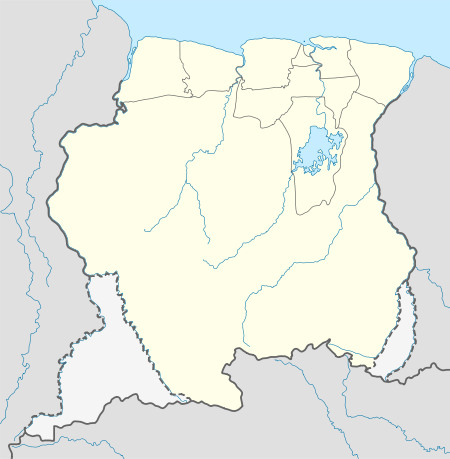
| Country | Suriname |
| District | Sipaliwini District |
| Resort (municipality) | Tapanahony |
| Government | |
| • Head captain | Ipomadi Pelenapïn |
| • Captain | Dosu |
| Elevation | 112 m (366 ft) |
| Population (2006) | |
| • Total | 82[1] |
Kawemhakan, also known as Anapaikë, is a Wayana village in the Sipaliwini District of Suriname. The village lies on the banks of the Lawa River, which forms the border with French Guiana.
Name
The indigenous name of the village is Kawemhakan, which translates to "high riverbank" in the Wayana language. The village is also known by the name Anapaikë, which is the name of the late granman of the Wayana in Suriname, who died in 2003. The Baptist missionaries called the village Lawa Station, and many Wayana still refer to the village as "Lawa".[2]
History
| Historical population | ||
|---|---|---|
| Year | Pop. | ±% p.a. |
| 1969 | 359 | — |
| 1991 | 157 | −3.69% |
| 1993 | 169 | +3.75% |
| 2006 | 82 | −5.41% |
| Source: Boven 2006, pp. 128-129 (1969–1993) Heemskerk et al. 2007, p. 21 (2006) | ||
Kawemhakan was founded in 1958, primarily by people who lived in the village of the local chief Janomalë, which was situated further upstream the Lawa River. It was common practice by Wayana to relocate to another village after the death of a chief, but Janomalë's death coincided with the arrival of Baptist missionaries to the area. Both the American missionaries and the Surinamese government wanted to concentrate the Wayana in a central location, as that would make their missionary and development efforts easier. At the instigation of the Baptist missionaries, Anapaikë was installed by the Surinamese government as the first granman of the Wayana.[3]
Kawemhakan soon flourished as the main Wayana village in Suriname. The Surinamese government built a modern prefabricated Bruynzeel house for Anapaikë, with amenities such as a toilet, a shower and a kitchen, which were considered very modern by the Wayana in the 1960s. An airstrip was built to provide transport to Paramaribo and a clinic was established to provide basic healthcare.[2]
Education
In the early 1970s, a primary school was built in Kawemhakan.[4] This school closed its doors at the start of the Surinamese Interior War, and was only temporarily reopened in the early 1990s as part of an international emergency aid package.[5] After the emergency aid expired, the teachers left Kawemhakan again, and children from Kawemhakan have been going to the French school in Talhuwen ever since.[6] Schoolchildren of Kawemhakan and Kumakahpan are transported to Talhuwen every school day by boat.[7]
Healthcare
Kawemhakan is home to a Medische Zending healthcare centre, which in 1968 took over the provision of basic healthcare services from the Baptist missionaries. The clinic was funded by Dutch NGO Simavi and Surinamese businesses.[8]
Geography
Kawemhakan lies about 4.5 km (2.8 mi) downstream the Lawa River from the villages of Kulumuli, Taluwen, Epoja and Alawataimë enï, and 6.5 km (4.0 mi) upstream the Lawa River from the village of Élahé, which both lie on the east bank of the river and hence are in French Guiana.
Transport
By air
Kawemhakan is served by Lawa Anapaike Airstrip, offering scheduled services to and from Paramaribo.
Communications
Since August 2016, a telecommunications and broadcasting tower is operational in Kawemhakan, offering ATSC broadcasts of STVS and ATV television networks, as well as GSM coverage on the Telesur network.[9]
Notes
- ↑ Heemskerk et al. 2007, p. 21.
- 1 2 Boven 2006, p. 121.
- ↑ Boven 2006, p. 127.
- ↑ Boven 2006, p. 112.
- ↑ Boven 2006, p. 128, 204.
- ↑ Boven 2006, p. 209.
- ↑ Boven 2006, p. 233.
- ↑ Boven 2006, pp. 104-105.
- ↑ "Mobiel bellen en digitale televisie voor zuid-oost Suriname". Starnieuws.com. 24 September 2016. Retrieved 21 February 2018.
References
- Boven, Karin M. (2006). Overleven in een Grensgebied: Veranderingsprocessen bij de Wayana in Suriname en Frans-Guyana (PDF). Amsterdam: Rozenberg Publishers.
- Heemskerk, Marieke; Delvoye, Katia; Noordam, Dirk; Teunissen, Pieter (2007). Wayana Baseline Study: A sustainable livelihoods perspective on the Wayana Indigenous Peoples living in and around Puleowime (Apetina), Palumeu, and Kawemhakan (Anapaike) in Southeast Suriname (PDF). Paramaribo: Stichting Amazon Conservation Team-Suriname.