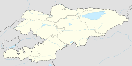
Kara-Kyshtak
| Kara-Kyshtak | |
|---|---|
 Kara-Kyshtak | |
| Coordinates: 40°06′36″N 72°06′00″E / 40.11000°N 72.10000°ECoordinates: 40°06′36″N 72°06′00″E / 40.11000°N 72.10000°E | |
| Country | Kyrgyzstan |
| Region | Batken Region |
| District | Kadamjay District |
| Elevation | 1,204 m (3,950 ft) |
| Population (2009) | |
| • Total | 1,068 |
| Time zone | UTC +5 |
Kara-Kyshtak is a village in Batken Region of Kyrgyzstan. Its population was 1,068 in 2009.[1] Nearby towns and villages include Kara-Jygach (1 mile) and Pum (2 miles).
References
- ↑ "2009 population census of the Kyrgyz Republic: Batken Region" (PDF). Archived from the original (PDF) on 10 August 2011. Retrieved 2013-05-16.
External links
This article is issued from
Wikipedia.
The text is licensed under Creative Commons - Attribution - Sharealike.
Additional terms may apply for the media files.