Kapas Island
| Native name: Pulau Kapas ڤولاو كاڤس | |
|---|---|
.jpg) Landscape of Kapas Island | |
 Kapas  Kapas  Kapas | |
| Geography | |
| Location | South China Sea |
| Coordinates | 5°13′08″N 103°15′55″E / 5.218975°N 103.265338°ECoordinates: 5°13′08″N 103°15′55″E / 5.218975°N 103.265338°E |
| Total islands | 2 |
| Administration | |
|
Malaysia | |
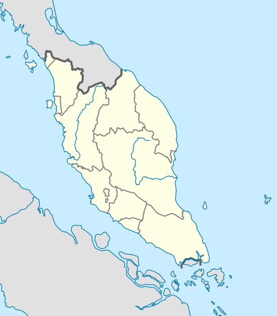
| State | Terengganu |
Kapas Island (Malay: Pulau Kapas) is an island located about 6 kilometers east of Marang, Malaysia, with a smaller island, Pulau Gemia, located north of it.[1] It measures roughly 1.5 by 2.5 km.[2] Its name, Pulau Kapas (Malay for cotton island), refers to the island's white beaches. The island has tropical jungle, clear seawater, white sand beaches and coral reefs in the surrounding waters. It is promoted as a "diving and snorkeling paradise".[1] The island is reached by ferry from Marang. Kapas is the location where most of the research on the enigmatic Amphidromus snails is carried out (unlike all other snails, Amphidromus are amphidromine: they usually exist of clockwise and anticlockwise individuals).[3]
See also
References
- 1 2 Emmons, Ron (2013) [Originally published 2008]. DK Eyewitness Travel Guide: Malaysia & Singapore:. DK. p. 140. ISBN 978-1-4093-8650-6.
- ↑ Damian Harper (December 2006). Malaysia, Singapore & Brunei. Ediz. Inglese. Lonely Planet. pp. 309–. ISBN 978-1-74059-708-1.
- ↑ Schilthuizen, M., P. G. Craze, A. S. Cabanban, A. Davison, E. Gittenberger, J. Stone & B. J. Scott, 2007. Sexual selection maintains whole-body chiral dimorphism. Journal of Evolutionary Biology, 20: 1941-1949.
External links
| Wikimedia Commons has media related to Pulau Kapas. |
- Tourism Malaysia - Pulau Kapas

| Islands | |
|---|---|
This article is issued from
Wikipedia.
The text is licensed under Creative Commons - Attribution - Sharealike.
Additional terms may apply for the media files.