Kanchanpur Union
| Kanchanpur Union কাঞ্চনপুর ইউনিয়ন | |
|---|---|
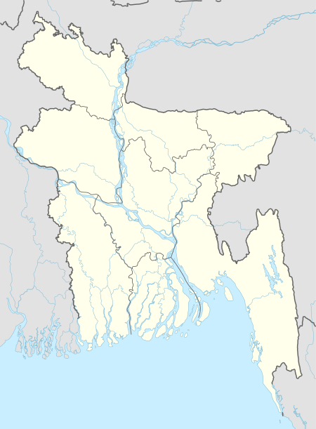
 Kanchanpur Union Location of Kanchanpur in Bangladesh | |
| Coordinates: 24°12′39″N 90°04′14″E / 24.2108404°N 90.0705582°ECoordinates: 24°12′39″N 90°04′14″E / 24.2108404°N 90.0705582°E | |
| Country | Bangladesh |
| Division | Dhaka Division |
| District | Tangail District |
| Upazila | Basail Upazila |
| Established | 1984 |
| Government | |
| • Type | Union Council |
| • Chairman | Mamunur Rashid Mamun |
| Area | |
| • Total | 29.93 km2 (11.56 sq mi) |
| Elevation | 11 m (36 ft) |
| Population (2011) | |
| • Total | 24,243 |
| • Density | 810/km2 (2,100/sq mi) |
| Time zone | UTC+6 (BST) |
| Postal code | 1920 |
| Website |
kanchanpurup |
Kanchanpur Union (Bengali: কাঞ্চনপুর ইউনিয়ন) is a union of Basail Upazila, Tangail District, Bangladesh. It is situated at 4 kilometres (2.5 mi) southeast of Basail and 20 kilometres (12 mi) east of Tangail.
Demographics
According to the 2011 Bangladesh census, Kanchanpur Union had 5,701 households and a population of 24,243. The literacy rate (age 7 and over) was 47.3% (male: 50.7%, female: 44.5%).[1]
Education
According to Banglapedia, Kanchanpur Elahia Fazil Madrasa, founded in 1941, is a notable madrassa.[2]
See also
References
- ↑ "Community Report: Tangail" (PDF). Population & Housing Census 2011. Bangladesh Bureau of Statistics. Archived from the original (PDF) on 2016-12-02. Retrieved 2017-06-18.
- ↑ Salim, Nurur Rahman (2012). "Basail Upazila". In Islam, Sirajul; Jamal, Ahmed A. Banglapedia: National Encyclopedia of Bangladesh (Second ed.). Asiatic Society of Bangladesh.
This article is issued from
Wikipedia.
The text is licensed under Creative Commons - Attribution - Sharealike.
Additional terms may apply for the media files.