Kalabak
| Maja e Kallabakut | |
|---|---|
| Kalabak | |
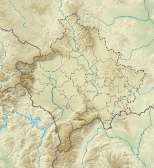 Maja e Kallabakut Location of Kalabak (on the Albanian-Kosovan border). | |
| Highest point | |
| Elevation | 2,174 m (7,133 ft) |
| Coordinates | 41°55′04.8″N 20°34′33.6″E / 41.918000°N 20.576000°ECoordinates: 41°55′04.8″N 20°34′33.6″E / 41.918000°N 20.576000°E |
| Geography | |
| Location | Kosovo[a] |
| Parent range | Šar Mountains |
Kalabak (Halabak) Albanian: Maja e Kallabakut is a mountain belonging to the Šar Mountains, located in Albania and Kosovo[a]. Kalabak's height is 2,174 m (7,133 ft)[1] above sea level and is located near the southern tip of Kosovo. Kalabak and its surroundings are treeless so it is an ideal places for shepherds to raise their sheep and the Šarplaninac as the protector.
Notes and references
Notes:
| a. | ^ Kosovo is the subject of a territorial dispute between the Republic of Kosovo and the Republic of Serbia. The Republic of Kosovo unilaterally declared independence on 17 February 2008, but Serbia continues to claim it as part of its own sovereign territory. The two governments began to normalise relations in 2013, as part of the Brussels Agreement. Kosovo has received formal recognition as an independent state from 113 out of 193 United Nations member states. |
References:
- ↑ geo names lists it at 1946, but it is listed as 2174 in the wp
- ↑ "NGA GEOnet Names Server". National Geospatial-Intelligence Agency. 2009-09-09. Archived from the original on 2003-10-08. Retrieved 2010-01-01.
This article is issued from
Wikipedia.
The text is licensed under Creative Commons - Attribution - Sharealike.
Additional terms may apply for the media files.