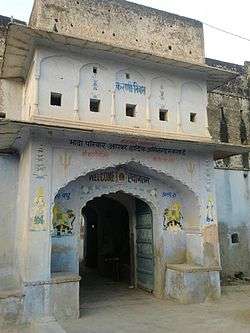
Kacholiya
| Kacholiya Kacholia | |
|---|---|
| village | |
 Kacholiya garh (fort) | |
| Country |
|
| District | Tonk |
| Government | |
| • Body | Gram panchayat |
| Languages | |
| Time zone | UTC+5:30 (IST) |
| ISO 3166 code | RJ-IN |
Kacholiya is a small village located in Tonk district, Rajasthan, India. It is located in the Malpura mandal.[1]
Population
The population of Kacholiya was 1495 in the 2001 census of India, with a male population of 751 and a female population of 744.
Culture
Kacholiya panchayat has five villages: Sotwara, Sans, Darawat, Amarpura and Kacholiya. The main occupation is agriculture, followed by government service. The nearest post office is Lamba Harisingh (PIN code 304503).
The village has a secondary school.
Transport
Kacholiya is connected by road to Malpura to the East and Lamba Harisingh to the West. Private and r.s.r.t.c buses run daily from Malpura, but there is still a lack of connectivity.
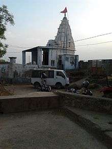
Kacholiya police station is at Pachewar 15 km away at Malpura-Dudu Road. Sindholiya mata temple is 5 km near from it.
References
- ↑ "Schemes Handed Over To Community". Ministry of Drinking Water and Sanitation. 2015. Retrieved 20 April 2015.
Coordinates: 25°15′N 74°41′E / 25.250°N 74.683°E