Kaarimba
| Kaarimba Victoria | |||||||||||||||
|---|---|---|---|---|---|---|---|---|---|---|---|---|---|---|---|
 Kaarimba | |||||||||||||||
| Coordinates | 36°08′53″S 145°17′43″E / 36.14806°S 145.29528°ECoordinates: 36°08′53″S 145°17′43″E / 36.14806°S 145.29528°E | ||||||||||||||
| Postcode(s) | 3635 | ||||||||||||||
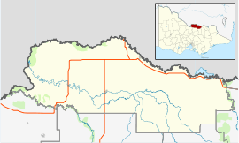
| LGA(s) | Shire of Moira | ||||||||||||||
| State electorate(s) | Shepparton | ||||||||||||||
| Federal Division(s) | Murray | ||||||||||||||
| |||||||||||||||
Kaarimba, also unofficially known as Karimba, is a small locality in Victoria, Australia in the local government area of the Shire of Moira.
The Goulburn River borders the south-west of the locality.[1] Karimba Post Office, spelt with one 'A', opened on the 15 January 1877 and was closed on the 21 June 1946.[2]
References
- ↑ http://www.dse.vic.gov.au/__data/assets/pdf_file/0018/104571/Moira_V45.pdf
- ↑ Premier Postal History, Post Office List, retrieved 2011-12-09
This article is issued from
Wikipedia.
The text is licensed under Creative Commons - Attribution - Sharealike.
Additional terms may apply for the media files.