Königswalde
| Königswalde at Annaberg-Buchholz | ||
| Municipality | ||
|
||
| Country | Germany | |
|---|---|---|
| Region | Saxony | |
| District | Erzgebirgskreis | |
| Coordinates | 50°32′48″N 13°2′50″E / 50.54667°N 13.04722°ECoordinates: 50°32′48″N 13°2′50″E / 50.54667°N 13.04722°E | |
| Highest point | ||
| - elevation | 500 m (1,640 ft) | |
| Lowest point | ||
| - elevation | 730 m (2,395 ft) | |
| Population | 2,295 (2013) | |
| Mayor | Ronny Wähner (CDU) | |
| Timezone | CET (UTC+1) | |
| - summer (DST) | CEST (UTC+2) | |
| Postal code | 09471 | |
 Königswalde | ||
| Website: www | ||
Königswalde is a municipality in the district of Erzgebirgskreis, in Saxony, Germany.
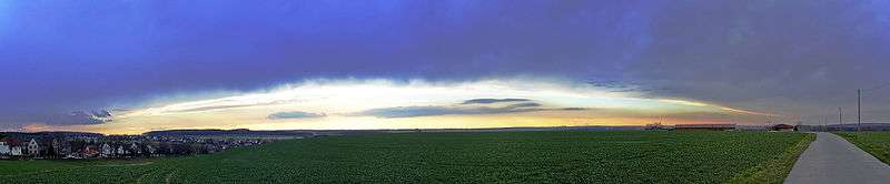
A sunset near Königswalde at Werdau
References
Sources
- Schumann, August (1818). "Königswalde". Vollständiges Staats-, Post- und Zeitungslexikon von Sachsen (in German). 5. Zwickau. p. 11 .
External links
- Königswalde in the Digital Historic Index of Places in Saxony (Digitales Historisches Ortsverzeichnis von Sachsen)
This article is issued from
Wikipedia.
The text is licensed under Creative Commons - Attribution - Sharealike.
Additional terms may apply for the media files.