Jukena
| Jukena जुकेना | |
|---|---|
| Village development committee | |
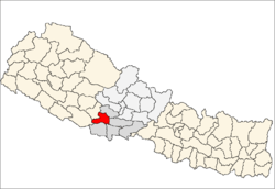
 Jukena Location in Nepal | |
| Coordinates: 27°53′N 83°02′E / 27.89°N 83.04°ECoordinates: 27°53′N 83°02′E / 27.89°N 83.04°E | |
| Country |
|
| Zone | Lumbini Zone |
| District | Arghakhanchi District |
| Population (2011) | |
| • Total | 6,647 |
| • Religions | Hindu |
| Time zone | UTC+5:45 (Nepal Time) |
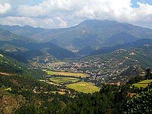
Jukena (जुकेना) is an administration geography called VDC, (local level geo-political division) in Arghakhanchi District in the Lumbini Zone of southern Nepal. It is situated at the southern lap of Mahabharat mountain range and stretches toward south and west. It is surrounded by Dhanchaur, Thada, Siddhara and Jaluke VDCs in north, east, south and west consequently. It is adjacent to Western part of Pyuthan district At the time of the 2011 Nepal census it had a population of 6,647 and had 1435 houses in the town.[1]
References
- ↑ "National Population and Housing Census 2011" (PDF). Village Development Committee/Munacipality. Central Bureau of Statistics. Archived from the original (PDF) on 2013-09-27. Retrieved 2012-12-16.
Headquarter: Sandhikharka | |||
 | Municipalities |
|  |
| Rural municipalities |
| ||
| Former VDCs |
| ||
List of municipalities and rural municipalities of Nepal | |||
This article is issued from
Wikipedia.
The text is licensed under Creative Commons - Attribution - Sharealike.
Additional terms may apply for the media files.