Jubing
| Jubing जुबिङ | |
|---|---|
| Village development committee | |
 Jubing Location in Nepal | |
| Coordinates: 27°37′N 86°44′E / 27.62°N 86.73°ECoordinates: 27°37′N 86°44′E / 27.62°N 86.73°E | |
| Country | Nepal |
| Zone | Sagarmatha Zone |
| District | Solukhumbu District |
| Population (1991) | |
| • Total | 2,704 |
| Time zone | UTC+5:45 (Nepal Time) |
Jubing was a village development committee in Solukhumbu District in the Sagarmatha Zone of north-eastern Nepal. It was divided and merged into two new formed Rural municipality in 2017 when the old administrative structures were reconstructed. Ward no. 2, 3, 4 and 6 were incorporated with Dudhkoshi rural municipality and remaining all wards 1, 5, 7, 8 and 9 were incorporated with Khumbu Pasanglhamu rural municipality.
At the time of the 1991 Nepal census it had a population of 2704 people living in 550 individual households.[1]
References
- ↑ "Nepal Census 2001". Nepal's Village Development Committees. Digital Himalaya. Archived from the original on 12 October 2008. Retrieved 14 November 2008.
External links
Headquarter: Salleri | ||
| Municipality | 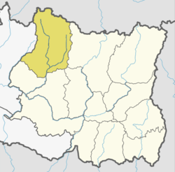 | |
| Rural Municipalities | ||
This article is issued from
Wikipedia.
The text is licensed under Creative Commons - Attribution - Sharealike.
Additional terms may apply for the media files.