Jirapur
| Jirapur जीरापुर | |
|---|---|
| city | |
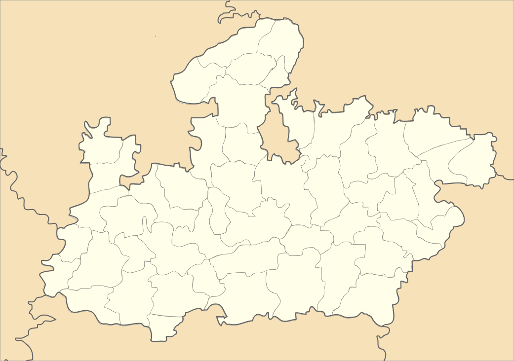
 Jirapur Location in Madhya Pradesh, India | |
| Coordinates: 24°01′N 76°23′E / 24.02°N 76.38°ECoordinates: 24°01′N 76°23′E / 24.02°N 76.38°E | |
| Country |
|
| State | Madhya Pradesh |
| District | Rajgarh |
| Population (2011) | |
| • Total | 21,724 |
| • Male | 11,052 |
| • Female | 10,672 |
| Time zone | UTC+5:30 (IST) |
| Pincode(s) | 4656xx |
| Area code(s) | +91-7370 |
| Vehicle registration | MP-39 |
Jirapur is a town and a nagar panchayat in Rajgarh district in the Indian state of Madhya Pradesh. Jirapur is a Tehsil and belongs to Bhopal Division. It is located 39 km towards west from district headquarters Rajgarh, 158 km from the state capital of Bhopal from the east.
Jirapur Tehsil
Jirapur Tehsil is bounded by Khilchipur Tehsil towards east, Nalkheda Tehsil towards south, Susner Tehsil towards west, Bakani Tehsil towards the north. Sarangpur City, Shajapur City, Pachore City, Jhalawar City are the nearby Cities to Jirapur. Jirapur consists of 88 Villages and 88 Panchayats. It is 434 metres in elevation.

Demographics
As of 2011 India census,[1] Jirapur had a population of 21,724. Males constitute 50.87% of the population and females 49.13%. Jirapur has an average literacy rate of 77.23%, higher than the national average of 69.32%. Male literacy is around 86.29% while female literacy rate is 67.90%. About 16% of the population is under 6 years of age.
Pin Codes of Jirapur Tehsil
- 465691(Jirapur)
- 465693(Machalpur)
- 465689(Chhapiheda)
- 465695(Pipliya Kulmi)
References
- ↑ "Census of India 2011: Data from the 2011 Census, including cities, villages and towns (Provisional)". Census Commission of India.