Jigme Khesar Strict Nature Reserve
Coordinates: 27°19′46″N 89°3′48″E / 27.32944°N 89.06333°E
| Jigme Khesar Strict Nature Reserve | |
| Strict Nature Reserve | |
| Country | Bhutan |
|---|---|
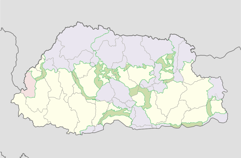
| District | Haa |
| Highest point | |
| - elevation | 4,800 m (15,748 ft) |
| Lowest point | |
| - elevation | 1,400 m (4,593 ft) |
| Area | 609.51 km2 (235 sq mi) |
| Plant | Meconopsis superba |
| Owner | Royal Government of Bhutan |
| Leader | Chief Forestry Officer |
 | |
| Website: Bhutan Trust Fund for Environmental Conservation | |
The Jigme Khesar Strict Nature Reserve (formerly Toorsa Strict Nature Reserve) in Bhutan covers 609.51 square kilometres (235.33 sq mi) in Haa District, occupying most of its area. It borders Sikkim and Tibet to the west and is connected to Jigme Dorji National Park via a "biological corridor." Jigme Khesar contains the westernmost temperate forests of Bhutan, from broadleaf forests to alpine meadows and the small lakes of Sinchulungpa, at altitudes ranging from 1,400 metres (4,600 ft) to 4,800 metres (15,700 ft). Like Phibsoo Wildlife Sanctuary, Jigme Khesar has no resident human population.[1]
Biodiversity
See also
References
- ↑ "Parks of Bhutan". Bhutan Trust Fund for Environmental Conservation online. Bhutan Trust Fund. Archived from the original on 2011-07-02. Retrieved 2011-03-26.
This article is issued from
Wikipedia.
The text is licensed under Creative Commons - Attribution - Sharealike.
Additional terms may apply for the media files.