Jhula
| Jhula झूला | |
|---|---|
| Village development committee | |
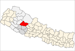
 Jhula Location in Nepal | |
| Coordinates: 28°40′N 82°26′E / 28.67°N 82.43°ECoordinates: 28°40′N 82°26′E / 28.67°N 82.43°E | |
| Country |
|
| Zone | Rapti Zone |
| District | Rukum District |
| Population (2011)[1] | |
| • Total | 3,334 |
| Time zone | UTC+5:45 (Nepal Time) |
| Area code(s) | +977-88 |
| Website | www.ddcrukum.gov.np |
Jhula is a village development committee in Rukum District in the Rapti Zone of western Nepal. At the time of the 2011 Nepal census it had a population of 3334 people living in 686 individual households.
References
- ↑ "National Population and Housing Census 2011(Village Development Committee/Municipality)" (PDF). Government of Nepal. National Planning Commission of Nepal. November 2012.
This article is issued from
Wikipedia.
The text is licensed under Creative Commons - Attribution - Sharealike.
Additional terms may apply for the media files.