Jauli Pokhari
| Jauli Pokhari जाउली पोखरी | |
|---|---|
| Village development committee | |
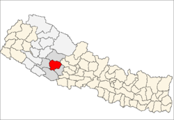
 Jauli Pokhari Location in Nepal | |
| Coordinates: 28°12′N 82°36′E / 28.20°N 82.60°ECoordinates: 28°12′N 82°36′E / 28.20°N 82.60°E | |
| Country |
|
| Zone | Rapti Zone |
| District | Rolpa District |
| Population (2011)[1] | |
| • Total | 4,470 |
| Time zone | UTC+5:45 (Nepal Time) |
Jaulipokhari is a village development committee in Rolpa District in the Rapti Zone of north-eastern Nepal. At the time of the 1991 Nepal census it had a population of 3555 people living in 654 individual households.There are 9 ward no. 1,2 & 3 is lamidanda, 4 is danchot, 5 is Ramli, 6 is Lapal, 7,8 & 9 is uma.
References
- ↑ "National Population and Housing Census 2011(Village Development Committee/Municipality)" (PDF). Government of Nepal. National Planning Commission of Nepal. November 2012.
This article is issued from
Wikipedia.
The text is licensed under Creative Commons - Attribution - Sharealike.
Additional terms may apply for the media files.