Jabadá
| Jabadá | |
|---|---|
| Village | |
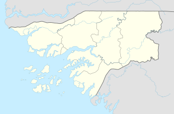 Jabadá Location in Guinea-Bissau | |
| Coordinates: 11°53′5″N 15°20′44″W / 11.88472°N 15.34556°WCoordinates: 11°53′5″N 15°20′44″W / 11.88472°N 15.34556°W | |
| Country |
|
| Region | Oio Region |
| Sector | Mansôa |
| Time zone | UTC+0 (GMT) |
Jabadá is a village in the Oio Region of western-central Guinea-Bissau. It lies on the southern bank of the Geba River.[1][2]
References
- ↑ Google Maps (Map). Google.
|access-date=requires|url=(help) - ↑ Bing Maps (Map). Microsoft and Harris Corporation Earthstar Geographics LLC.
|access-date=requires|url=(help)
Farim (capital) | ||
| Sectors | ||
| Towns and villages |
| |
This article is issued from
Wikipedia.
The text is licensed under Creative Commons - Attribution - Sharealike.
Additional terms may apply for the media files.