Ixtlahuacán de los Membrillos
| Ixtlahuacán de los Membrillos | |||
|---|---|---|---|
| Municipality and city | |||
| |||
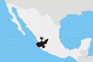
 Location of the municipality in Jalisco | |||
|
Ixtlahuacán de los Membrillos Location in Mexico | |||
| Coordinates: 20°21′N 103°11′W / 20.350°N 103.183°WCoordinates: 20°21′N 103°11′W / 20.350°N 103.183°W | |||
| Country |
| ||
| State | Jalisco | ||
| Area | |||
| • Total | 184.25 km2 (71.14 sq mi) | ||
| Population (2005) | |||
| • Total | 23,420 | ||


Ixtlahuacán de los Membrillos (Spanish pronunciation: [ikstlawaˈkan ðe los memˈbɾiʎos]) is a town and municipality, in Jalisco in central-western Mexico. The municipality covers an area of 184.25 km². It is located north of the Chapala municipality.
In 2005, the municipality had a total population of 23,420.[1]
References
- ↑ "Ixtlahuacán de los Membrillos". Enciclopedia de los Municipios de México. Instituto Nacional para el Federalismo y el Desarrollo Municipal. Retrieved April 13, 2009.
This article is issued from
Wikipedia.
The text is licensed under Creative Commons - Attribution - Sharealike.
Additional terms may apply for the media files.