Inverary, Ontario
| Inverary | |
|---|---|
 | |
 Inverary Location in southern Ontario | |
| Coordinates: 44°23′17″N 76°28′26″W / 44.38806°N 76.47389°WCoordinates: 44°23′17″N 76°28′26″W / 44.38806°N 76.47389°W[1] | |
| Country | Canada |
| Province | Ontario |
| County | Frontenac County |
| Township | South Frontenac |
| Named for | named by James Campbell after his ancestral home in Scotland |
| Elevation[2] | 154 m (505 ft) |
| Time zone | UTC-5 (Eastern Time Zone) |
| • Summer (DST) | UTC-4 (Eastern Time Zone) |
| Postal code | K0H 1X0 |
| Area code | 613, 343 |
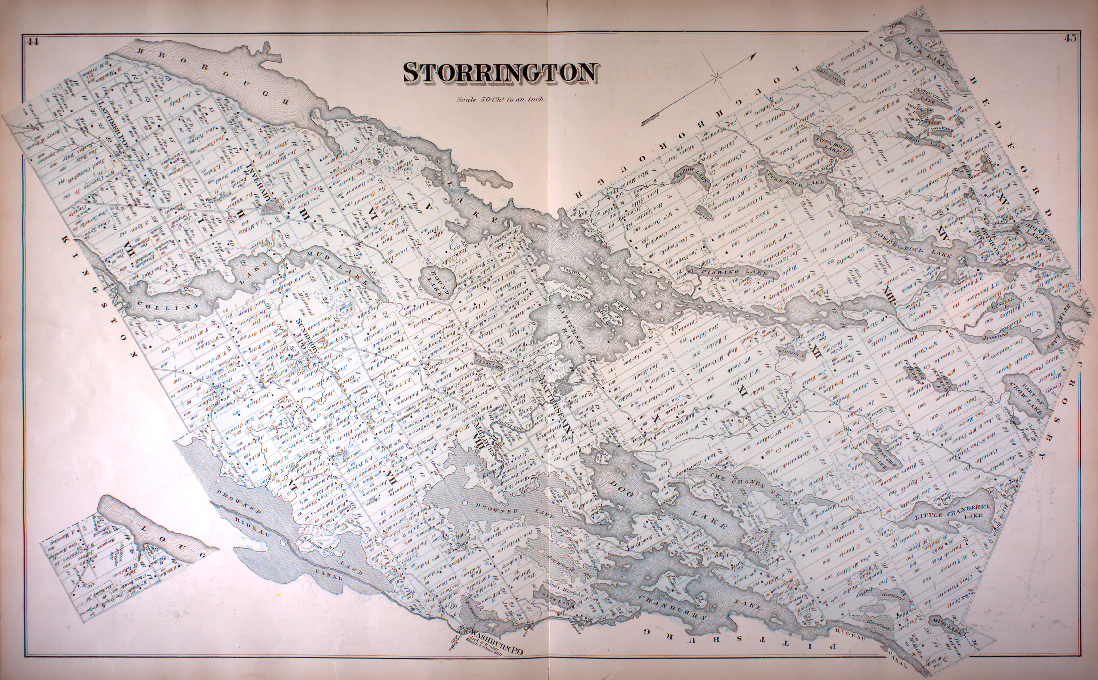
Inverary is a Compact Rural Community and unincorporated place in South Frontenac, Frontenac County in eastern Ontario, Canada. The community was originally called Storrington post office in 1845, for (the now) geographic Storrington Township in which the community lies.[3] It was renamed to Inverary in 1856 by landowner James Campbell after Inveraray, his ancestral home in Scotland[4], before being officially incorporated in 1860.
Education
The Limestone District School Board operates two elementary schools in the area: Perth Road Public School[5] and Storrington Public School.[6]
Postal services
A post office at 4095 Perth Road in Inverary has two rural routes, as well as general delivery and post office box service. The postal code for Inverary is K0H 1X0.
References
- ↑ "Inverary". Geographical Names Data Base. Natural Resources Canada. Retrieved 2016-12-11.
- ↑ Elevation taken at geographic coordinates from Google Maps. Accessed 2016-12-11.
- ↑ "Township of Storrington" (JPG). Canadian County Atlas Project. McGill University. 2001. Retrieved 2016-12-11.
- ↑ Rayburn, Alan (1997). Place names of Ontario. Toronto: University of Toronto Press. p. 167. ISBN 0-8020-7207-0. Retrieved 18 October 2017.
- ↑ "Perth Road Public School". Limestone District School Board. 2009. Retrieved 2016-12-11.
- ↑ "Storrington Public School". Limestone District School Board. 2009. Retrieved 2016-12-11.
Other map sources:
- Map 6 (PDF) (Map). 1 : 700,000. Official road map of Ontario. Ministry of Transportation of Ontario. 2016-01-01. Retrieved 2016-12-11.
- Restructured municipalities - Ontario map #5 (Map). Restructuring Maps of Ontario. Ontario Ministry of Municipal Affairs and Housing. 2006. Retrieved 2016-12-11.