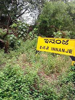
Innanje
| Innanje | |
|---|---|
| Village | |
 | |
 Innanje Location in Karnataka, India  Innanje Innanje (India) | |
| Coordinates: 13°14′49″N 74°46′9″E / 13.24694°N 74.76917°ECoordinates: 13°14′49″N 74°46′9″E / 13.24694°N 74.76917°E | |
| Country |
|
| State | Karnataka |
| District | Udupi |
| Government | |
| • Body | Gram panchayat |
| Languages | |
| • Official | Kannada |
| Time zone | UTC+5:30 (IST) |
| PIN | 576122 |
| ISO 3166 code | IN-KA |
| Vehicle registration | KA |
| Website |
karnataka |
Innanje is a village in Udupi taluk, Karnataka state, India. The road from Kaup (NH-66) goes to Innanje.
Innanje is at a distance of 14.2 km from its district capital, Udupi, and at a distance of 398 km from the state capital, Bangalore.
Innanje has a population of 3205 consisting of 1433 males and 1772 females based on 2011 census.
Nearby villages (with distances) are Kurkalu (3 km), Kote (4 km), Mallaru (7 km), Belle (7 km), Manipura (7 km), Shirva (7 km) and Bada (7 km).
Innanje's pin code is 576122, and the post office's name is Innanje Post.
References
This article is issued from
Wikipedia.
The text is licensed under Creative Commons - Attribution - Sharealike.
Additional terms may apply for the media files.