Indre Øksningan
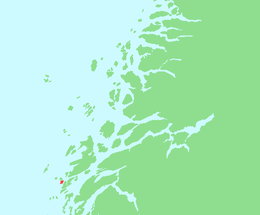 Location in Nordland | |
| Geography | |
|---|---|
| Location | Norway |
| Coordinates | 65°59′27″N 12°13′16″E / 65.99083°N 12.22111°ECoordinates: 65°59′27″N 12°13′16″E / 65.99083°N 12.22111°E |
| Area | 2.3 km2 (0.89 sq mi)[1] |
| Highest elevation | 9 m (30 ft)[2] |
| Highest point | Matmorhågjen (57.5 m or 189 ft) |
| Administration | |
|
Norway | |
| County | Nordland |
| Municipality | Herøy |
Indre Øksningan (English: Inner Øksningan)[3] is an island in the municipality of Herøy in Nordland county, Norway.[1] Together with Ytre Øksningan, it is part of the Øksningan archipelago. The island has an area of 2.3 square kilometers (0.89 sq mi) and a population of 78 (2016).[1] It is connected to the rest of Herøy by the Kalvøyrevet Bridge and Norwegian County Road 166.[1]
References
- 1 2 3 4 Thorsnæs, Geir (March 23, 2016). "Øksningan". Store norske leksikon. Retrieved October 17, 2017.
- ↑ "Indre Øksningan, Herøy (Nordland)". Yr. Retrieved October 17, 2017.
- ↑ "About Herøy". Herøy-Helgeland. Retrieved October 16, 2017.
This article is issued from
Wikipedia.
The text is licensed under Creative Commons - Attribution - Sharealike.
Additional terms may apply for the media files.