Ilinden (village)
| Ilinden Илинден | |
|---|---|
| Village | |
MK.jpg) Panorama of Ilinden and the nearby railway | |
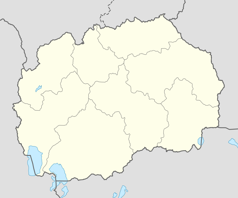 Ilinden Location within Republic of Macedonia | |
| Coordinates: 42°00′N 21°35′E / 42.000°N 21.583°ECoordinates: 42°00′N 21°35′E / 42.000°N 21.583°E | |
| Country | Republic of Macedonia |
| Municipality | Petrovec municipality |
| Statistical region | Skopje Statistical Region |
| Population (2002) | |
| • Total | 4,931 |
| Time zone | UTC+1 (CET) |
| • Summer (DST) | UTC+2 (CEST) |
| Car plates | SK |
| Website | . |
Ilinden [1](Macedonian: ![]()
Demographics
According to the 2002 census, the settlement had a total of 4931 inhabitants.[2] Ethnic groups in the village include:[2]
References
- ↑ "GPS coordinates of Ilinden (village), Macedonia. Latitude: 42.0000 Longitude: 21.5833". Latitude.to. Retrieved 12 January 2017.
- 1 2 Macedonian Census (2002), Book 5 - Total population according to the Ethnic Affiliation, Mother Tongue and Religion, The State Statistical Office, Skopje, 2002, p. 107.
See also
- Ilinden - important historic date
- Ilinden Municipality
This article is issued from
Wikipedia.
The text is licensed under Creative Commons - Attribution - Sharealike.
Additional terms may apply for the media files.