Idlewild, Del Norte County, California
Coordinates: 41°53′54″N 123°46′19″W / 41.89833°N 123.77194°W
| Idlewild | |
|---|---|
| Unincorporated community | |
 Idlewild Location in California  Idlewild Idlewild (the US) | |
| Coordinates: 41°53′54″N 123°46′19″W / 41.89833°N 123.77194°W | |
| Country | United States |
| State | California |
| County | Del Norte County |
| Elevation[1] | 1,257 ft (383 m) |
Idlewild (formerly, Horse Flat) is an unincorporated community in Del Norte County, California, on the west bank of Middle Fork Smith River, 2.1 km (1.3 mi) north of Washington Peak and 16.8 km (10.5 mi) northeast of Gasquet. It lies at an elevation of 1257 feet (383 m).
References
External links
Municipalities and communities of Del Norte County, California, United States | ||
|---|---|---|
| City | 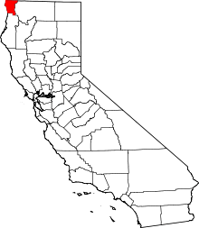 | |
| CDPs | ||
| Unincorporated communities | ||
| Indian reservations | ||
| Ghost towns |
| |
This article is issued from
Wikipedia.
The text is licensed under Creative Commons - Attribution - Sharealike.
Additional terms may apply for the media files.