Hurhuri
| Huruhuri हुरुहुरी Raj Nagar राजनगर | |
|---|---|
| Village | |
 Huruhuri Location in Jaunpur,Uttar Pradesh, India  Huruhuri Huruhuri (India) | |
| Coordinates: 25°38′49″N 82°52′52″E / 25.647°N 82.881°ECoordinates: 25°38′49″N 82°52′52″E / 25.647°N 82.881°E | |
| Country | India |
| State | Uttar Pradesh |
| District | Jaunpur |
| Tehsil | Kerakat |
| Government | |
| • Type | Gram Panchayat / Nyaya Panchayat |
| • Body | [[Amar Bahadur<br/>अमरबहादुर]] सरपंच |
| Elevation | 83 m (272 ft) |
| Population | |
| • Total | 1,987 |
| Languages | |
| • Official | Hindi |
| Time zone | UTC+5:30 (IST) |
| PIN | 222142 |
| Vehicle registration | UP62 |
| Sex ratio | 984/1003 ♂/♀ |
| Lok Sabha constituency | Machhlishahr (Lok Sabha constituency) |
| Vidhan Sabha constituency | Kerakat(Vidhan Sabha constituency) |
| Distance from Kerakat | 5 kilometres (3.1 mi) |
| Distance from Jaunpur District | 25 kilometres (16 mi) |
| Website | http://jaunpur.nic.in/ |
Huruhuri(hi:हुरुहुरी)[1] is a village about 2 km north from the Gomti River in the tehsil of Kerakat, Jaunpur, Uttar Pradesh, India. It belongs to the Varanasi Division. It is located 25 km east of the city of Jaunpur, 4 km west of Kerakat, and 274 km from Lucknow, the capital of Uttar Pradesh. Hurhuri's Postal Index Number is 222142 and the postal head office is situated in Kerakat And Branch Office is JaiGopalGanj. Huruhuri situated Near State Highway 36.
Huruhuri's nearest rail connection is at Kirakat railway station, while at Huruhuri a bus stop connects the village to Kerakat and Jaunpur JunctionThe village is home of the Suryavanshi Rajputs, Nikumbh Rajputs and many other castes as Maurya, Bramhin, Muslim, Goswami Chamar, Srivastava like Brijesh Singh Nikumbh,Sulabh Singh,Shivkamal Maurya,Madan.
Village Map
Bhu naksha of Huruhuri village
Huruhuri Population - Jaunpur, Uttar Pradesh
Huruhuri is a medium size village located in Kerakat of Jaunpur district, Uttar Pradesh with total 310 families residing. The Huruhuri village has population of 1987 of which 984 are Males while 1003 are Females as per Population Census 2011.
In Huruhuri village population of Children with age 0-6 is 275 which makes up 13.84% of total population of village. Average Sex Ratio of Huruhuri village is 1019 which is higher than Uttar Pradesh state average of 912. Child Sex Ratio for the Huruhuri as per census is 964, higher than Uttar Pradesh average of 902.
Huruhuri village has higher literacy rate compared to Uttar Pradesh. In 2011, literacy rate of Hurhuri village was 77.39% compared to 67.68% of Uttar Pradesh. In Hurhuri Male literacy stands at 86.26% while female literacy rate was 68.78%.
As per constitution of India and Panchyati Raaj Act, Huruhuri village is administrated by Sarpanch (Head of Village) who is elected representative of village.
Near by Villages
- Sarauni
- Pachwar
- Khepatpur
- Shahbuddhinpur
- Jaigopalganj
- Chaukiya
- Deokali
- Dharaura.
Temple
- Deweshwar Mahadev(Shankar bhagwan) Mandir, Huruhuri Pokhra
- Durga Mata Mandir, Pachwar Dagra
- Kali Mata Mandir,Huruhuri Talia
- Shri Raikal Bramha Baba, Jaigopalganj
- Dih Baba, Huruhuri
Famous Person
- 1.Mr Shitla prasad Singh
- 2.Mr Jagdish Singh.
- 3.Mr Mahendra Pratap Singh.(Purv Pradhan)
- 4.Mr Surendra Pratap Singh. (Rashan Kota)
- 5.Mr Ram Pratap Singh
- 6.Mr Jagjeet Sha6rma
- 7.Mr Man Bahadur Singh.(Purv Pradhan)
- 8.Mr Devnath Pathak
College
- Shri Krishna Sanskrit Madhyamik Vidyalaya Huruhuri,
- S.D.Public School,Huruhuri
Other offices or Small industries
- Huruhuri Krishi Mandi(hi:हुरुहुरी कृषि मंडी),Near Huruhuri Pokhra(Construction. Completed) But Now Not Open For Farmer or Agriculturist.
See also
References
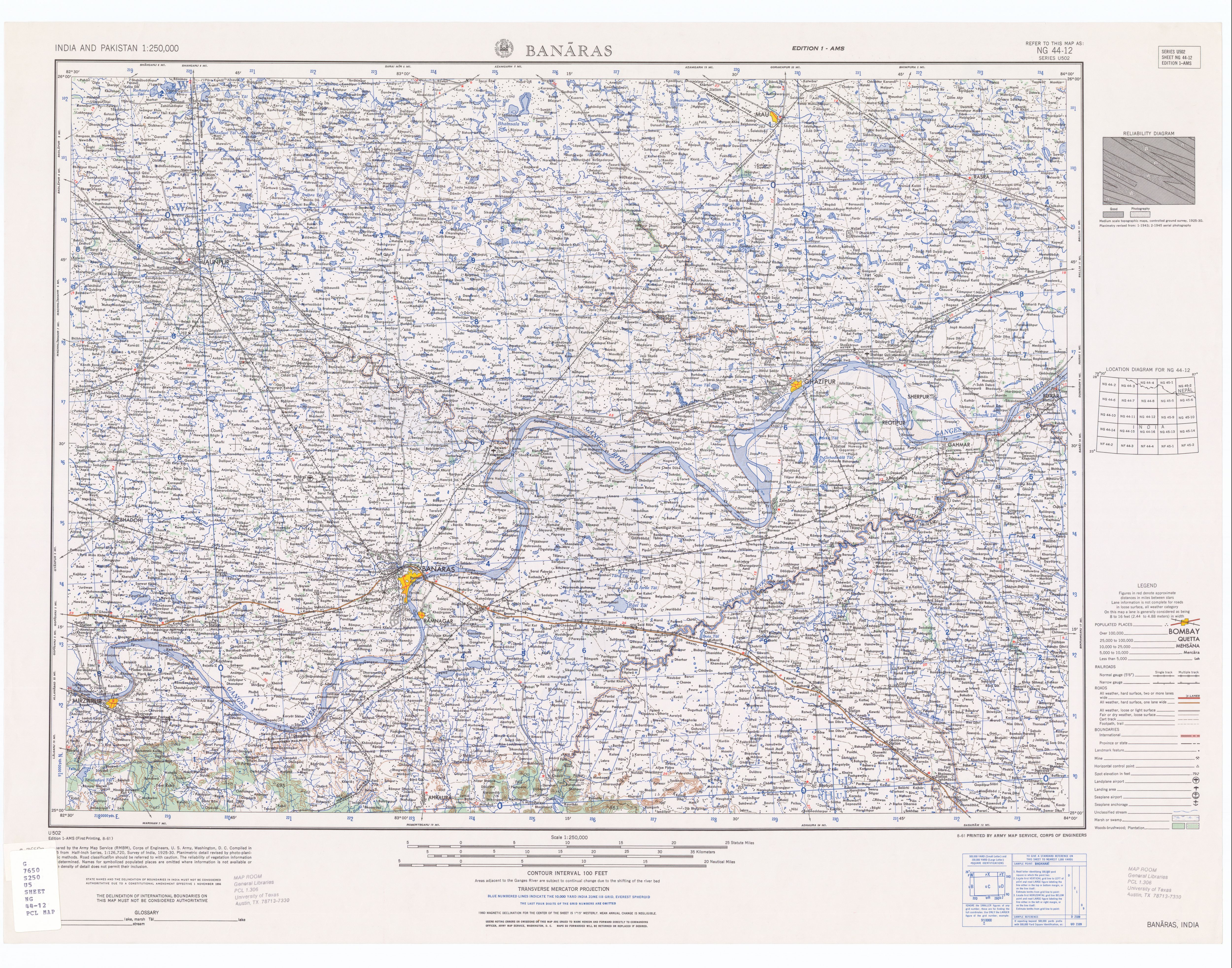
- ↑ US army map of Banaras at "blue coordinates" (22.2; 9.8)