Hulubelu
| Hulubelu | |
|---|---|
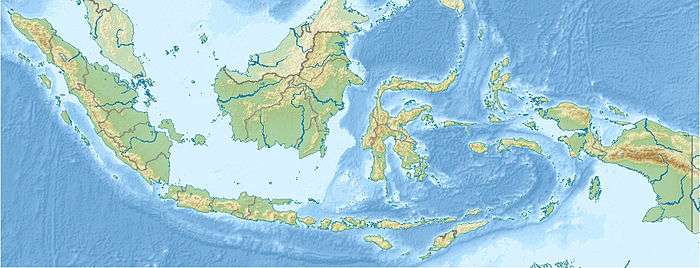 Hulubelu Location on the Indonesian island of Sumatra | |
| Highest point | |
| Elevation | 1,040 m (3,410 ft) [1] |
| Listing | List of volcanoes in Indonesia |
| Coordinates | 5°21′S 104°36′E / 5.350°S 104.600°ECoordinates: 5°21′S 104°36′E / 5.350°S 104.600°E [1] |
| Geography | |
| Location | Sumatra, Indonesia |
| Geology | |
| Mountain type | Caldera |
| Last eruption | Unknown[1] |
Hulubelu is an elliptical, 4-km-long caldera the floor of which is about 700 m above sea level and is surrounded by steep walls in South-Eastern Sumatra. Post-caldera volcanism formed central cones and basaltic and andesitic flank volcanoes. Solfataric areas, mud volcanoes, and hot springs occur at several locations but it is not known for sure when the volcano last erupted, possibly in the Holocene epoch . Thermal areas are aligned North East of and parallel to the Great Sumatran fault, which runs the entire length of the island of Sumatra.
References
- 1 2 3 "Hulubelu". Global Volcanism Program. Smithsonian Institution. Retrieved 2006-12-26.
This article is issued from
Wikipedia.
The text is licensed under Creative Commons - Attribution - Sharealike.
Additional terms may apply for the media files.