Horfield, Victoria
| Horfield Victoria | |
|---|---|
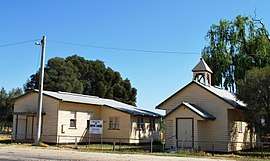 Uniting church and hall, 2008 | |
 Horfield | |
| Coordinates | 35°52′48″S 144°13′18″E / 35.88000°S 144.22167°ECoordinates: 35°52′48″S 144°13′18″E / 35.88000°S 144.22167°E |
| Population | 91 (2016 census)[1] |
| Postcode(s) | 3567 |
| Location | |
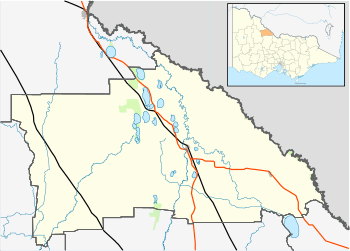
| LGA(s) | Shire of Gannawarra |
| State electorate(s) | Murray Plains |
| Federal Division(s) | Mallee |
Horfield is a locality in northern Victoria, Australia. The locality is in the Shire of Gannawarra, 267 kilometres (166 mi) north west of the state capital, Melbourne.
At the 2016 census, Horfield had a population of 91.[1]
References
- 1 2 Australian Bureau of Statistics (27 June 2017). "Horfield". 2016 Census QuickStats. Retrieved 2 August 2017.

External links
![]()
This article is issued from
Wikipedia.
The text is licensed under Creative Commons - Attribution - Sharealike.
Additional terms may apply for the media files.