Holly Lane SSSI
| Site of Special Scientific Interest | |
 | |
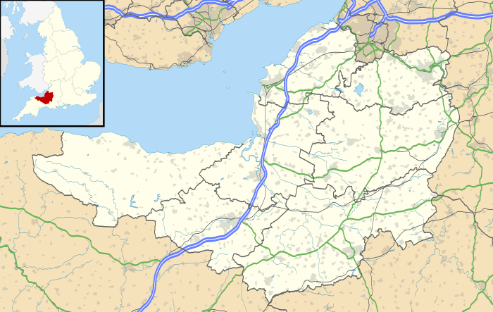 Location within Somerset | |
| Area of Search | Avon |
|---|---|
| Grid reference | ST419727 |
| Coordinates | 51°27′01″N 2°50′15″W / 51.45029°N 2.83749°WCoordinates: 51°27′01″N 2°50′15″W / 51.45029°N 2.83749°W |
| Interest | Geological |
| Area | 0.5 hectares (0.0050 km2; 0.0019 sq mi) |
| Notification | 1990 |
| Natural England website | |
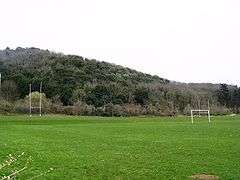
Holly Lane SSSI (grid reference ST419727) is a 0.5 hectare geological Site of Special Scientific Interest near the village of Walton St. Mary, North Somerset, notified in 1990.
This Geological Conservation Review site shows deep subaerial sands and breccias burying a fossil cliff, shoreplatform, wave-cut notch and cave. The sands are of Pleistocene age and thought to be aeolian (windblown) coversands. They contain recycled foraminifera (eroded from older rocks) and open-ground terrestrial mollusca. Fossils of mammalian fauna include horse, bear, wolf, fox and several rodent species.[1]
References
- ↑ English Nature citation sheet for the site (accessed 11 July 2006)
This article is issued from
Wikipedia.
The text is licensed under Creative Commons - Attribution - Sharealike.
Additional terms may apply for the media files.