Hohenleuben
| Hohenleuben | ||
|---|---|---|
| ||
 Hohenleuben Location of Hohenleuben within Greiz district 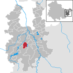 | ||
| Coordinates: 50°43′N 12°3′E / 50.717°N 12.050°ECoordinates: 50°43′N 12°3′E / 50.717°N 12.050°E | ||
| Country | Germany | |
| State | Thuringia | |
| District | Greiz | |
| Government | ||
| • Mayor | Dirk Bergner | |
| Area | ||
| • Total | 9.52 km2 (3.68 sq mi) | |
| Elevation | 395 m (1,296 ft) | |
| Population (2017-12-31)[1] | ||
| • Total | 1,461 | |
| • Density | 150/km2 (400/sq mi) | |
| Time zone | CET/CEST (UTC+1/+2) | |
| Postal codes | 07958 | |
| Dialling codes | 036622 | |
| Vehicle registration | GRZ | |
| Website | http://www.langenwetzendorf.de | |

Hohenleuben is a town in the district of Greiz, in Thuringia, Germany. It is situated 12 km northwest of Greiz, and 19 km south of Gera.
History
Within the German Empire (1871-1918), Hohenleuben was part of the Principality of Reuss-Gera.
References
This article is issued from
Wikipedia.
The text is licensed under Creative Commons - Attribution - Sharealike.
Additional terms may apply for the media files.