Hippenscombe
| Hippenscombe | |
|---|---|
 Hippenscombe Bottom | |
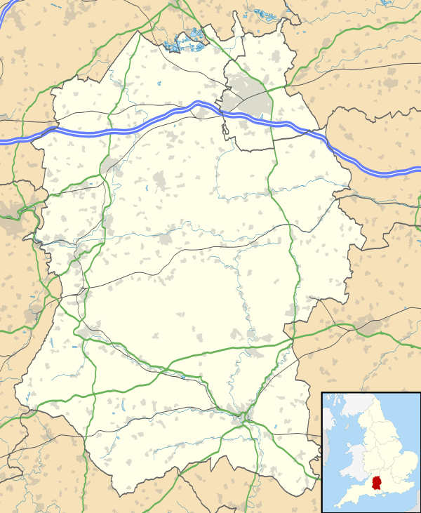 Hippenscombe Hippenscombe shown within Wiltshire | |
| OS grid reference | SU310561 |
| Civil parish | |
| Unitary authority | |
| Ceremonial county | |
| Region | |
| Country | England |
| Sovereign state | United Kingdom |
| Post town | Marlborough |
| Postcode district | SN8 |
| Dialling code | 01264 |
| Police | Wiltshire |
| Fire | Dorset and Wiltshire |
| Ambulance | South Western |
| EU Parliament | South West England |
| UK Parliament | |
Hippenscombe is a small settlement within the civil parish of Tidcombe and Fosbury, Wiltshire, in the southwest of England. Marked only on large-scale maps, its location is to the southwest of Oakhill Wood and the northwest of Conholt Park, about 8 miles (13 km) south of Hungerford, Berkshire.
Hippenscombe has a long separate history of its own, having been an extra-parochial area.[1] It was severely affected by the Swing Riots of 1830.[2]
John Marius Wilson's Imperial Gazetteer of England and Wales (1870-1872) said of Hippenscombe:
HIPPENSCOMBE, an extra-parochial tract in the district of Hungerford and county of Wilts; adjacent to Hants and Berks, 4¼ miles NE of Ludgershall. Acres, 980. Real property, £545. Pop., 42. Houses, 11.[3]
It was incorporated into Tidcombe in 1879.[4]
References
- ↑ 'Hippenscombe', in A History of the County of Wiltshire, Volume 16: Kinwardstone Hundred (1999), pp. 226-229, accessed 2 March 2012
- ↑ The Swing Riots around Burbage at burbage-wiltshire.co.uk, accessed 2 March 2012
- ↑ Hippenscombe at visionofbritain.org.uk
- ↑ Hippenscombe at genuki.org.uk
External links
- SU3156 : Above Hippenscombe (photograph at geograph.org.uk)
- Hippenscombe at old-maps.co.uk