Hindu Raj
| Hinduraj | |
|---|---|
|
سلسلہ کوہ ہندو راج | |
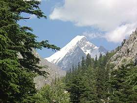 Falak Sher | |
| Highest point | |
| Peak | Koyo Zom |
| Elevation | 6,872 m (22,546 ft) |
| Geography | |
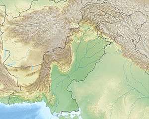 | |
| State | Khyber Pakhtunkhwa, Gilgit-Baltistan (Pakistan) |
| Range coordinates | 36°19′42″N 72°59′55″E / 36.328403°N 72.998657°ECoordinates: 36°19′42″N 72°59′55″E / 36.328403°N 72.998657°E |
The Hindu Raj (Urdu: سلسلہ کوہ ہندو راج) is a mountain range in northern Pakistan, between the Hindu Kush and the Karakoram ranges. Its highest peak is Koyo Zom, 6,872 m (22,546 ft). Other notable peaks include Buni Zom[1], Ghamubar Zom and Gul Lasht Zom. The range is less well-known than its neighbors, partly because of the absence of any 8000 or 7000 meter peaks.
Notes
- ↑ Sources disagree on whether Buni Zom is in the Hindu Raj or the Hindu Kush.
This article is issued from
Wikipedia.
The text is licensed under Creative Commons - Attribution - Sharealike.
Additional terms may apply for the media files.