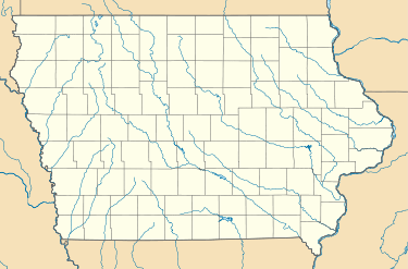
Herrold, Iowa
| Herrold, Iowa | |
|---|---|
| Unincorporated Community | |
 Herrold, Iowa Herrold, Iowa  Herrold, Iowa Herrold, Iowa (the US) | |
| Coordinates: 41°43′14″N 93°44′13″W / 41.7205435°N 93.7368894°WCoordinates: 41°43′14″N 93°44′13″W / 41.7205435°N 93.7368894°W | |
| Country |
|
| State |
|
| County | Polk |
| Elevation | 853 ft (260 m) |
| Time zone | UTC-6 (Central (CST)) |
| • Summer (DST) | UTC-5 (CDT) |
| Area code(s) | 515 |
| GNIS feature ID | 2047899 |
Herrold is an unincorporated community in Polk County, Iowa, United States.[1] Herrold is located in Jefferson Township.[2] The state capital and county seat of Des Moines is a little over 10 miles to the south east.
The historic Herrold Bridge crosses the Beaver Creek to west of the community.[3]
References
- ↑ "Report for Herrold". USGNIS. Retrieved 4 December 2017.
- ↑ "1919 county map". Polk County, Iowa. Retrieved 4 December 2017.
- ↑ "National Register of Historic Places Registration Form" (PDF). National Park Service. United States Department of the Interior. Retrieved 4 December 2017.
This article is issued from
Wikipedia.
The text is licensed under Creative Commons - Attribution - Sharealike.
Additional terms may apply for the media files.