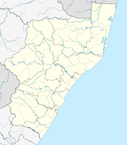
Helpmekaar
| Helpmekaar | |
|---|---|
 Helpmekaar  Helpmekaar Helpmekaar (South Africa)  Helpmekaar Helpmekaar (Africa) | |
| Coordinates: 28°26′06″S 30°25′01″E / 28.435°S 30.417°ECoordinates: 28°26′06″S 30°25′01″E / 28.435°S 30.417°E | |
| Country | South Africa |
| Province | KwaZulu-Natal |
| District | uThukela |
| Municipality | Alfred Duma |
| Time zone | UTC+2 (SAST) |
| Postal code (street) | 3000 |
Helpmekaar is a village 26 km south-east of Dundee. Afrikaans for 'help each other', the name is derived from transport riders having had to assist each other in making a road over a nearby hill.[1]
References
- ↑ Raper, Peter E. (1987). Dictionary of Southern African Place Names. Internet Archive. p. 203. Retrieved 28 August 2013.
This article is issued from
Wikipedia.
The text is licensed under Creative Commons - Attribution - Sharealike.
Additional terms may apply for the media files.
.svg.png)