Hartness State Airport
Coordinates: 43°20′37″N 072°31′02″W / 43.34361°N 72.51722°W
| Hartness State Airport | |||||||||||||||
|---|---|---|---|---|---|---|---|---|---|---|---|---|---|---|---|
.jpg) Hartness State Airport Tarmac, July 2008 | |||||||||||||||
| Summary | |||||||||||||||
| Airport type | Public | ||||||||||||||
| Owner | State of Vermont | ||||||||||||||
| Serves | Springfield, Vermont | ||||||||||||||
| Elevation AMSL | 577 ft / 176 m | ||||||||||||||
| Map | |||||||||||||||
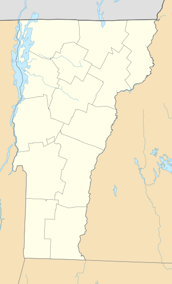 VSF Location of airport in Vermont / United States  VSF VSF (the US) | |||||||||||||||
| Runways | |||||||||||||||
| |||||||||||||||
| Statistics (1998) | |||||||||||||||
| |||||||||||||||
Hartness State Airport (IATA: VSF, ICAO: KVSF, FAA LID: VSF) is a public airport located three miles (5 km) northwest of the central business district of Springfield, a town in Windsor County, Vermont, United States. It is owned by the State of Vermont.[1]
Facilities and aircraft
Hartness State Airport covers an area of 185 acres (75 ha) which contains two asphalt paved runways: 5/23 measuring 5,498 x 100 ft (1,676 x 30 m) and 11/29 measuring 3,000 x 75 ft (914 x 23 m).[1]
For the 12-month period ending November 20, 2012, the airport had 6,600 aircraft operations, an average of 127 per week: 95% general aviation, 3% air taxi and 2% military. There are 37 aircraft based at this airport: 76% single engine, 22% gliders and 3% multi-engine.[1]
References
External links
- Hartness State Airport at Vermont Airport Directory
- Resources for this airport:
- FAA airport information for VSF
- AirNav airport information for KVSF
- ASN accident history for VSF
- FlightAware airport information and live flight tracker
- NOAA/NWS latest weather observations
- SkyVector aeronautical chart, Terminal Procedures