Happy Valley, Victoria (Golden Plains Shire)
| Happy Valley Victoria | |||||||||||||||
|---|---|---|---|---|---|---|---|---|---|---|---|---|---|---|---|
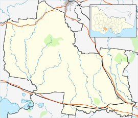 Happy Valley Location in Golden Plains Shire | |||||||||||||||
| Coordinates | 37°43′12″S 143°36′20″E / 37.72000°S 143.60556°ECoordinates: 37°43′12″S 143°36′20″E / 37.72000°S 143.60556°E | ||||||||||||||
| Population | 85 (2016 census)[1] | ||||||||||||||
| Postcode(s) | 3360 | ||||||||||||||
| LGA(s) | Golden Plains Shire | ||||||||||||||
| State electorate(s) | Buninyong | ||||||||||||||
| Federal Division(s) | Corangamite | ||||||||||||||
| |||||||||||||||
Happy Valley is a town located in the Local Government Area of the Golden Plains Shire. It shares the same name with Happy Valley in Northern Victoria.[2]
Happy Valley is a former gold mining town 28 kilometres (17 mi) south-west of Ballarat that is now only a rural locality.
Gold was discovered in the area, originally called ‘Wardy Yallock’ (thought to have meant "winding yellow river" of aboriginal origins) in 1849 as part of the Australian gold rushes, with intensive mining beginning in 1853.[3]
Demographics
| Year | Population |
|---|---|
| 1871 | 512 |
| 1891 | 239 |
| 1911 | 135 |
| 1933 | 69 |
| 1954 | 25 |
References
- ↑ Australian Bureau of Statistics (27 June 2017). "Happy Valley (Golden Plains - Vic.) (State Suburb)". 2016 Census QuickStats. Retrieved 17 November 2017.

- ↑ http://www.vec.vic.gov.au/Files/LocalityFinder.pdf
- ↑ http://catalogue.nla.gov.au/Record/806766 Bailliere’s Victorian gazetteer (1865)
This article is issued from
Wikipedia.
The text is licensed under Creative Commons - Attribution - Sharealike.
Additional terms may apply for the media files.