Ha, Bhutan
| Ha ཧཱ / ཧས Haa | |
|---|---|
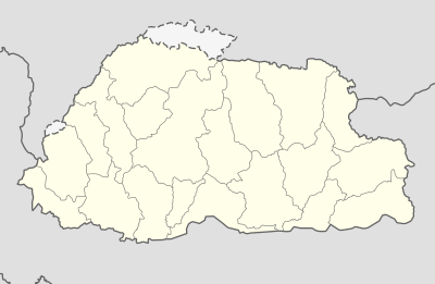 Ha Location in Bhutan | |
| Coordinates: 27°22′N 89°17′E / 27.367°N 89.283°ECoordinates: 27°22′N 89°17′E / 27.367°N 89.283°E | |
| Country |
|
| District | Haa District |
| Time zone | UTC+6 (BTT.00) |
Ha, Haa[1]. or Has is a Thromde or town, and the seat of Haa District in Bhutan.[2]
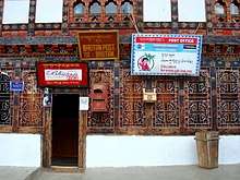
Post Office in Ha, Bhutan
Haa is situated in Haa Valley in the west of the Bhutan bordering Sikkim. The major economic activity is rice production, yak herding and trade with neighbouring China. Haa also accommodates an Indian Army training school. It contains two Buddhist temples.
References
- ↑ spelling as per officially approved Thrombde names, see the Ministry of Works and Human Settlements http://www.mowhs.gov.bt/publications/approved-thromde-and-boundaries/
- ↑ National Geospatial Intelligence Agency
Further reading
- Tshewang, Lam Pema (2001)History of the Has (Ha) Valley in Journal of Bhutan Studies Volume 5, Winter 2001 p. 50-56. Thimphu: Centre for Bhutan Studies.
External links
This article is issued from
Wikipedia.
The text is licensed under Creative Commons - Attribution - Sharealike.
Additional terms may apply for the media files.