Höhenkirchen-Siegertsbrunn
| Höhenkirchen-Siegertsbrunn | ||
|---|---|---|
| ||
 Höhenkirchen-Siegertsbrunn Location of Höhenkirchen-Siegertsbrunn within Munich district 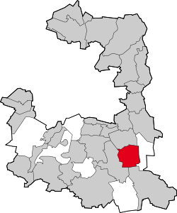 | ||
| Coordinates: 48°01′N 11°44′E / 48.017°N 11.733°ECoordinates: 48°01′N 11°44′E / 48.017°N 11.733°E | ||
| Country | Germany | |
| State | Bavaria | |
| Admin. region | Oberbayern | |
| District | Munich | |
| Government | ||
| • Mayor | Ursula Mayer (CSU) | |
| Area | ||
| • Total | 15.19 km2 (5.86 sq mi) | |
| Elevation | 586 m (1,923 ft) | |
| Population (2017-12-31)[1] | ||
| • Total | 10,910 | |
| • Density | 720/km2 (1,900/sq mi) | |
| Time zone | CET/CEST (UTC+1/+2) | |
| Postal codes | 85635 | |
| Dialling codes | 08102 | |
| Vehicle registration | M | |
| Website | www.hoehenkirchen-siegertsbrunn.de | |

Höhenkirchen-Siegertsbrunn is a municipality in Upper Bavaria, situated south of Munich. It is one of the municipalities with the longest names in Germany, the longest being Hellschen-Heringsand-Unterschaar.
International relations
Twin towns — Sister cities
Höhenkirchen-Siegertsbrunn is twinned with:

References
- ↑ "Fortschreibung des Bevölkerungsstandes". Bayerisches Landesamt für Statistik und Datenverarbeitung (in German). September 2018.
This article is issued from
Wikipedia.
The text is licensed under Creative Commons - Attribution - Sharealike.
Additional terms may apply for the media files.