Grumant
| Grumant | |
|---|---|
| abandoned Russian coal mining settlement (1912 - 1965) | |
 Two of the houses remaining in Grumant | |
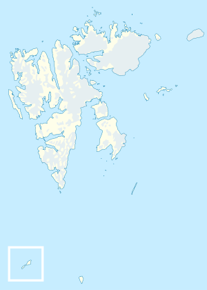 Grumant Location in western Svalbard | |
| Coordinates: 78°10′40″N 15°06′45″E / 78.17778°N 15.11250°ECoordinates: 78°10′40″N 15°06′45″E / 78.17778°N 15.11250°E | |
| Country | Norway |
| Syssel | Svalbard |
| island | Spitsbergen |
| Population (1961) | |
| • Total | 0 |
| Time zone | UTC+2 (CET) |
| • Summer (DST) | +3 |
Grumant was a Russian/Soviet settlement in Svalbard, Norway, established in 1912 and abandoned in 1965. The population peaked at 1,106 in 1951/52 (including Coles Bay, which served as port for Grumant). The name ‘Grumant’ is Pomor in origin, and is also used to refer to the whole of the Svalbard archipelago. It may be a corruption of ‘Greenland,’ with which this land was confused.[1]
Grumant is located on Spitsbergen, the largest of the Svalbard archipelago's islands, about 10 kilometres (6.2 mi) West-southwest from Longyearbyen, the administrative centre.[2]
Notes
- ↑ "Archived copy". Archived from the original on 2011-07-24. Retrieved 2009-03-11.
- ↑ Direction of WSW and distance of approximately 10 kilometers are both estimated from Google Maps' point locations of Grumant and Longyearbyen.
| General | |
|---|---|
| Politics | |
| Settlements | |
| Former settlements | |
| Environment | |
| Islands | |
| Land areas | |
| National parks | |
| Companies | |
| Research | |
| Telecommunications | |
| Transport | |
| |
This article is issued from
Wikipedia.
The text is licensed under Creative Commons - Attribution - Sharealike.
Additional terms may apply for the media files.