Grenelefe, Florida
| Grenelefe, Florida | |
|---|---|
| Unincorporated community | |
 Grenelefe, Florida  Grenelefe, Florida | |
| Coordinates: 28°03′29″N 81°33′14″W / 28.05806°N 81.55389°WCoordinates: 28°03′29″N 81°33′14″W / 28.05806°N 81.55389°W | |
| Country | United States |
| State | Florida |
| County | Polk |
| Area[1] | |
| • Total | 4.341 sq mi (11.24 km2) |
| • Land | 4.029 sq mi (10.44 km2) |
| • Water | 0.312 sq mi (0.81 km2) |
| Elevation | 79 ft (24 m) |
| Population (2010)[1] | |
| • Total | 1,752 |
| • Density | 400/sq mi (160/km2) |
| Time zone | UTC-5 (Eastern (EST)) |
| • Summer (DST) | UTC-4 (EDT) |
| Area code(s) | 863 |
| GNIS feature ID | 2583350[2] |
Grenelefe is an unincorporated community and census-designated place located in Polk County, Florida, United States.[2] Its population was 1,752 as of the 2010 census.[1]
Geography
According to the U.S. Census Bureau, the community has an area of 4.341 square miles (11.24 km2); 4.029 square miles (10.44 km2) of its area is land, and 0.312 square miles (0.81 km2) is water.[1]
References
Municipalities and communities of Polk County, Florida, United States | ||
|---|---|---|
| Cities | 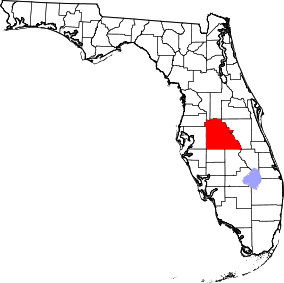 | |
| Towns | ||
| Village | ||
| CDPs | ||
| Unincorporated communities | ||
| Ghost town | ||
| Footnotes | ‡This populated place also has portions in an adjacent county or counties | |
This article is issued from
Wikipedia.
The text is licensed under Creative Commons - Attribution - Sharealike.
Additional terms may apply for the media files.