Grapevine Canyon (Nevada)
| Grapevine Canyon | |
| Canyon | |
 Grapevine Canyon | |
| Country | United States |
|---|---|
| State | Nevada |
| District | Clark County |
| Coordinates | 35°13′37″N 114°41′10″W / 35.227066°N 114.68621°WCoordinates: 35°13′37″N 114°41′10″W / 35.227066°N 114.68621°W |
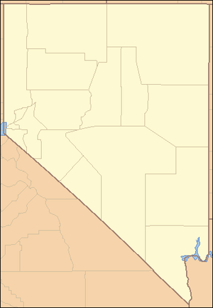 Location of Grapevine Canyon in Nevada | |
 Location of Nevada in the United States | |
Grapevine Canyon is located in the Bridge Canyon Wilderness Area[1] and the Spirit Mountain Wilderness as well as partially being in the Lake Mead National Recreation Area.[2] The canyon contains the Grapevine Canyon Petroglyphs and is accessible from Nevada State Route 163 which leads to Lower Grapevine Canyon Road.[3][4] During non-drought years, the canyon contains a fresh water spring. The spring provides water for shrubbery along it's path. [5]
While it was used by the Mohave people, the canyon may have served as a ritual location and for summer solstice observations.[3][6][7] Various petroglyphs serve as evidence of use by the Mohave people [5]
Notes
- ↑ Wall, Deborah (6 November 2007). "Rocks steal spotlight along hike". Summerlin South View (Las Vegas Review Journal). Retrieved 26 August 2011.
- ↑ "Spirit Mountain Wilderness" (PDF). Retrieved 2010-03-15.
- 1 2 "Laughlin Area Attractions". Las Vegas Convention and Visitors Authority. Retrieved 25 August 2011.
- ↑ Jim Boone (2009-06-09). "Lower Grapevine Canyon Road". birdandhike.com. Retrieved 2010-08-15.
- 1 2 "Grapevine Canyon; Bridge Canyon Wilderness" (PDF). National Park Service. Retrieved 2018-04-06.
- ↑ Gary A. David. "Grapevine Canyon (Nevada)". The Orion Zone. Retrieved 2010-08-15.
- ↑ "Bridge Canyon Wilderness". Friends of Nevada Wilderness. Retrieved 2010-03-15.
This article is issued from
Wikipedia.
The text is licensed under Creative Commons - Attribution - Sharealike.
Additional terms may apply for the media files.