Granite Glacier
| Granite Glacier | |
|---|---|
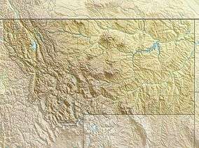
 Granite Glacier Location in Montana | |
| Type | Mountain glacier |
| Location | Beartooth Mountains, Park County, Montana, U.S. |
| Coordinates | 45°10′12″N 109°48′22″W / 45.17000°N 109.80611°WCoordinates: 45°10′12″N 109°48′22″W / 45.17000°N 109.80611°W[1] |
| Area | Approximately 40 acres (0.16 km2) |
| Terminus | Barren rock |
| Status | Unknown |
Granite Glacier is located in the US state of Montana. The glacier is situated in the Beartooth Mountains at an elevation of 11,000 feet (3,400 m) above sea level and is on the north slope of Granite Peak, the highest summit in Montana.[2] The glacier covers approximately 40 acres (0.16 km2).
See also
References
- ↑ "Granite Glacier". Geographic Names Information System. United States Geological Survey. Retrieved 2012-07-30.
- ↑ Granite Peak, MT (Map). TopoQwest (United States Geological Survey Maps). Retrieved 2012-07-30.
This article is issued from
Wikipedia.
The text is licensed under Creative Commons - Attribution - Sharealike.
Additional terms may apply for the media files.