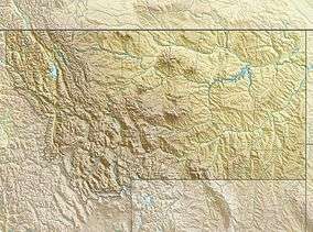
Beartooth Glacier
| Beartooth Glacier | |
|---|---|
 Beartooth Glacier Location in Montana | |
| Type | Mountain glacier |
| Location | Beartooth Mountains, Carbon County, Montana, U.S. |
| Coordinates | 45°03′55″N 109°33′33″W / 45.06528°N 109.55917°WCoordinates: 45°03′55″N 109°33′33″W / 45.06528°N 109.55917°W[1] |
| Terminus | Talus |
| Status | Unknown |
Beartooth Glacier is in the U.S. state of Montana. The glacier is situated in a cirque northeast of Beartooth Mountain at an average elevation of 10,500 feet (3,200 m) above sea level.[2]
References
- ↑ "Beartooth Glacier". Geographic Names Information System. United States Geological Survey. Retrieved 2012-07-30.
- ↑ Silver Run Peak, MT (Map). TopoQwest (United States Geological Survey Maps). Retrieved 2012-07-30.
See also
This article is issued from
Wikipedia.
The text is licensed under Creative Commons - Attribution - Sharealike.
Additional terms may apply for the media files.